Avery Schmitt · 23 September 2026
Echoes from Feldwald's 1700s: Settlement Maps Informing Modern Tree Planting Strategies
Settlement records from the 1700s in Feldwald provide detailed accounts of land divisions, agricultural clearings, and early infrastructure that shaped the region's original forest cover, and these documents now serve as primary references for contemporary reforestation programs. Researchers access digitized versions of estate ledgers and cadastral surveys that list specific tree species present before widespread clearing occurred, which allows planners to match planting choices to historical baselines rather than modern assumptions.
Tracing 18th-Century Land Use Patterns
Maps drawn during the period of Prussian administrative reforms document field sizes, hedgerow locations, and drainage ditches that fragmented the original woodland, while written inventories note oak, beech, and pine distributions across different soil types. These records, preserved in regional archives, show that certain valleys supported dense mixed stands until settlers converted them to pasture and arable plots. Current mapping teams combine the old surveys with LiDAR elevation data to reconstruct pre-settlement topography, revealing micro-sites where moisture and slope conditions favored particular species.
Observers note that areas marked as common grazing land on the 1700s documents correspond to today's open meadows, and foresters use this correlation to decide where to restore closed-canopy woodland versus maintaining grassland habitat for ground-nesting birds. The alignment between historical boundaries and soil core samples confirms that nutrient depletion from centuries-old farming practices still influences growth rates in some sectors.
Integrating Historical Data into Planting Protocols
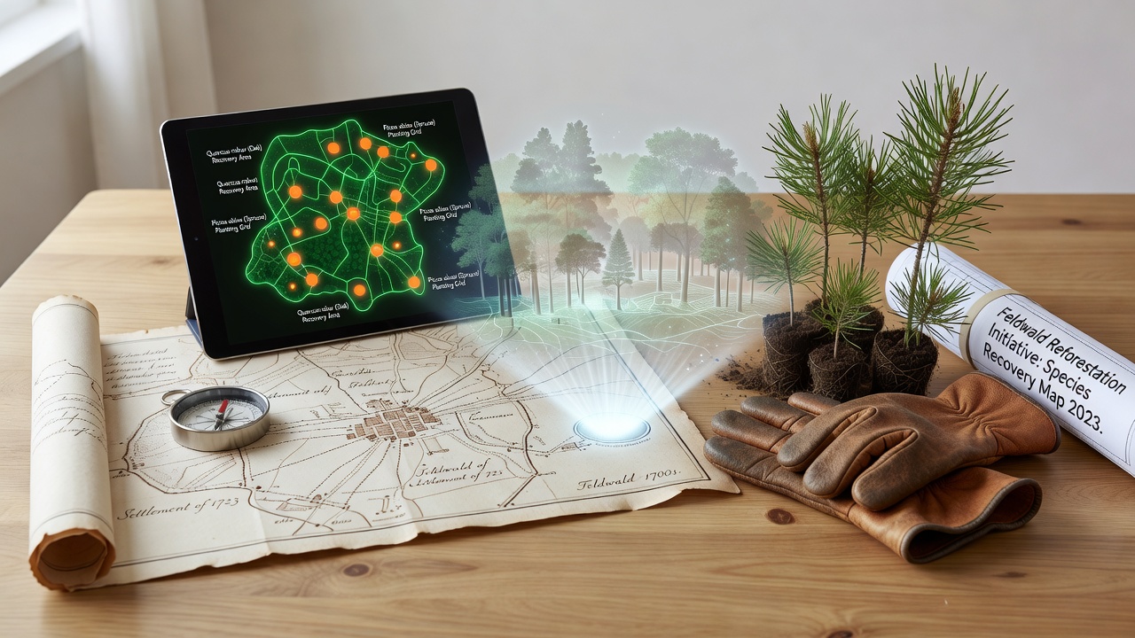
Forestry teams in Feldwald load the digitized maps into geographic information systems that generate planting grids aligned with former settlement edges, and this method reduces the risk of placing shade-intolerant species in locations where historical records indicate they never thrived. Field crews verify map accuracy by locating remnant stone markers and old road alignments that still appear on the ground, then adjust species lists accordingly. Data from these combined layers indicate that beech recovers more readily on north-facing slopes that remained partially wooded during the 1700s, whereas pine shows better establishment on former agricultural terraces with compacted subsoils.

By September 2026, updated GIS layers incorporating new drone orthophotos will refine these boundaries further, and project coordinators expect the revised maps to cover an additional 1,200 hectares previously outside the survey scope. The process relies on cross-referencing multiple 18th-century sources rather than any single document, which minimizes errors introduced by incomplete drawings or later boundary changes.
Species Recovery Outcomes and Supporting Evidence
Recovery metrics compiled over the past decade show increased seedling survival when plantings follow the 1700s species distributions, and monitoring plots record higher biodiversity indices in restored zones compared with adjacent control areas planted without historical guidance. According to reports from the European Environment Agency, similar map-guided approaches in other European forests have produced comparable gains in structural diversity. Natural regeneration of understory herbs and insects accelerates once canopy composition matches earlier records, because the returning trees recreate the light and litter conditions documented in period botanical notes.
One study coordinated by the University of Göttingen tracked bird populations across matched sites and found that insectivorous species returned faster to stands restored using 1700s references, likely due to the reappearance of specific bark textures and branch structures. Soil analyses further reveal that legacy effects from 18th-century manuring practices persist in certain plots, requiring targeted amendments before sensitive native species can establish.
Conclusion
The integration of 1700s settlement maps into Feldwald's tree planting and species recovery programs demonstrates how archival evidence can inform ecological decisions at scale, and ongoing refinements scheduled for 2026 will extend this framework across additional terrain. Continued cross-verification between historical documents, field measurements, and remote-sensing data maintains accuracy while supporting measurable improvements in forest composition and associated wildlife metrics.